Is Driving Up Pikes Peak Highway Scary? A Nervous Driver’s Guide
Yes, driving up Pikes Peak Highway can be a little (ahem…a lot) scary. There are 180-degree hairpin turns at 13,000 feet, steep drop-offs with no guardrails, and a 35-degree temperature drop before you reach the summit.
The first time we did the drive, I was terrified. But I did it anyway. I was white-knuckling the door handle the entire time, but I did it. Fast forward three years and we’ve driven Pikes Peak Highway three times.
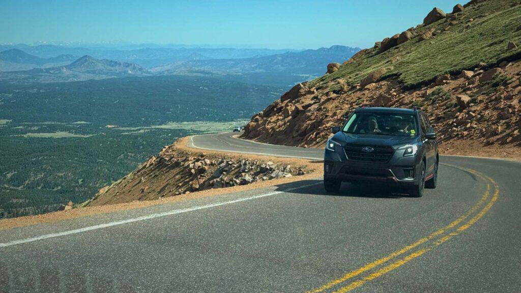
I have exactly two fears in life: heights and narrow mountain roads. I’m talking palm sweating, can’t breathe, frozen in place kind of fear. And that’s exactly what you get driving the 19-mile Pikes Peak Highway in Colorado Springs.
So when Jason wanted to drive to the summit a few years ago, I had to have a long talk with myself. I googled everything that could go wrong and watched every YouTube video I could find of people driving up Pikes Peak Highway.
Finally, I agreed. I mean, how do you visit Colorado Springs without driving up America’s Mountain? And that view from 14,000 feet made every white-knuckle mile completely worth it.
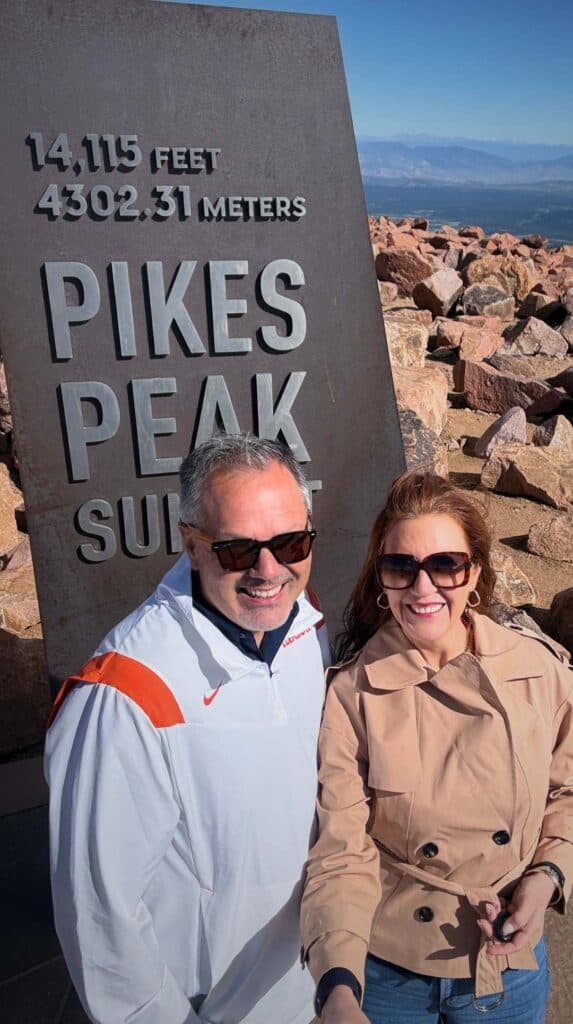
This guide is for people like me. The ones with sweaty palms Googling “is driving Pikes Peak dangerous” from the parking lot. I get you. I am you. Here’s everything you need to know to get yourself to that 14,000-foot summit and back down again.
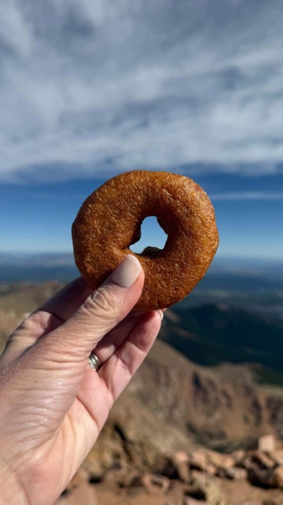
BTW…there are doughnuts at the top.
Disclaimer: This post may contain affiliate links. Please see our Disclosure Policy for details.
4 Biggest Fears About Driving Up Pikes Peak (and the Truth About Each)
Driving up Pikes Peak Highway is intimidating, but it is not necessarily dangerous if you take it slow and follow the rules. Hundreds of thousands of people make this drive every single year.
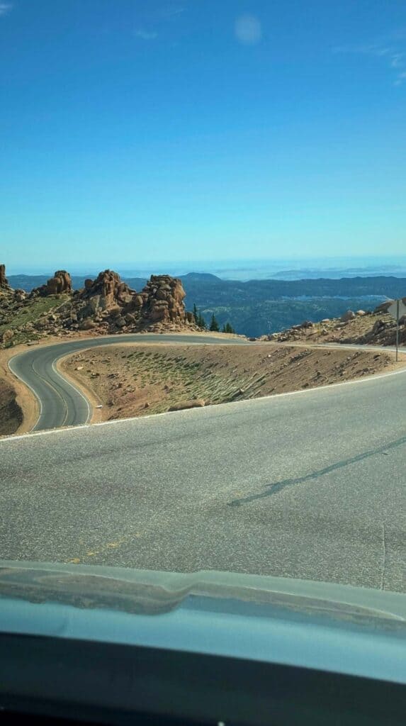
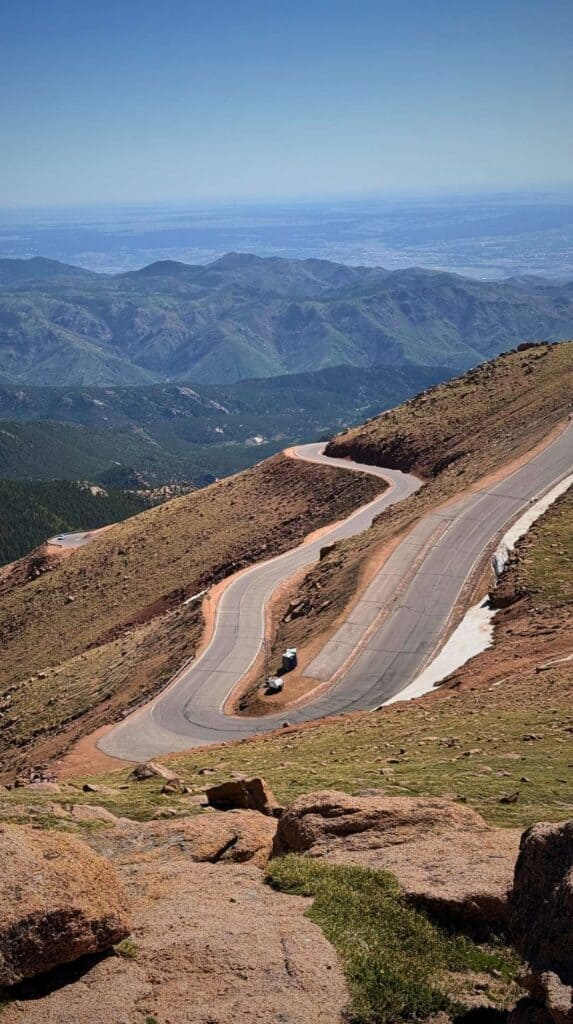
These are the most common fears about driving Pikes Peak highway and how to deal with each one.
1. What If My Brakes Fail?
If you’ve been Googling “Pikes Peak brake failure”, you’re not alone. I did it too. You probably couldn’t find a documented case of a regular passenger vehicle experiencing brake failure on Pikes Peak highway. Me either.
So, let’s go ahead and put that fear to rest. Brakes fail when they overheat, and they overheat when drivers ride them continuously. You have complete control of this one.
On the way back down from the summit, use your low gear and let your transmission do the work. Apply your brakes firmly when you need to slow down, then release them. Think short and firm, not long and steady.
When you reach the Glen Cove Inn at mile 13, Rangers will check the temperature of your brakes. If they are running too hot, they’ll have you park and wait until they cool down.
Try Renting a Hybrid
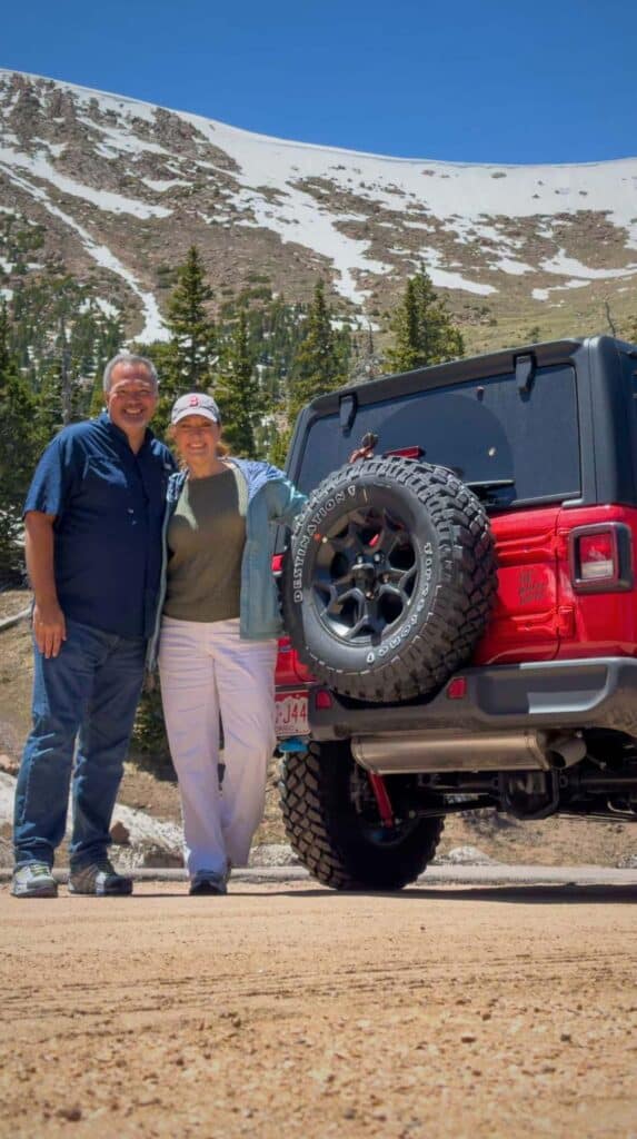
We rented a hybrid jeep the first time we drove up Pikes Peak Highway and Jason barely had to touch the brakes the whole way down.
The Rangers told us they never have to worry about the brakes on hybrids.
2. Won’t I Drive Over the Edge?
Let’s be honest about the two things that are the scariest part of the drive up Pikes Peak Highway: the drop-offs and the switchbacks.
Drop-offs are exactly what they sound like. The side of the road literally just drops off with no guardrail between you and a very long way down. You’ll start to see these after you pass the Glen Cove Inn at mile 13.
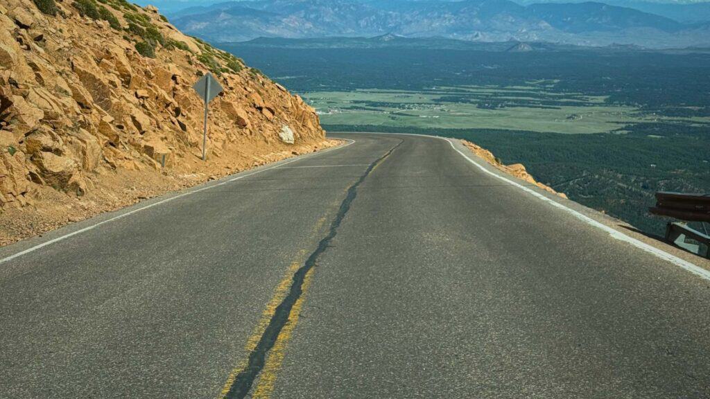
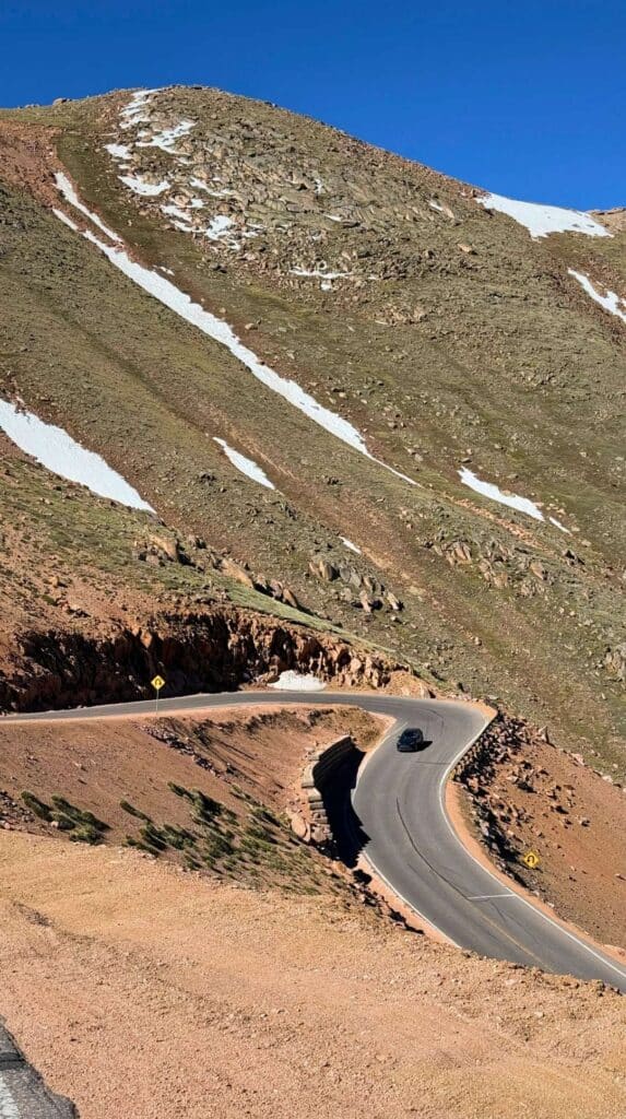
Then at mile 13, right before Devil’s Playground, you hit the scary switchbacks. A few miles of 180-degree hairpin turns at 13,000 feet. If you’re terrified of heights like I am, this is the stretch that make you question your life choices.
I found myself leaning toward the center console as if that was somehow going to keep us on the road. Spoiler: it does not help, but will make your husband laugh at you.
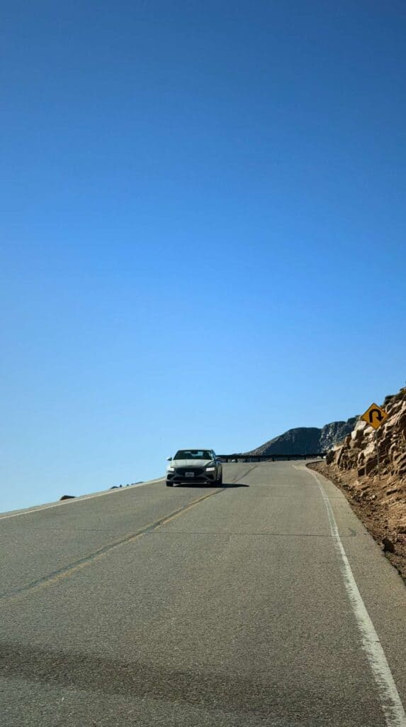
As scary as these sections feel, remember that thousands of people navigate Pikes Peak every single day. And, those people are just as nervous as you are, which means they are being super careful too. The speed limit is 25 MPH, but I’ve found most people are going much slower around the drop offs and switchbacks.
The scariest part of the drive up Pikes Peak Highway is between mile 13 and mile 16. The rest is honestly not that bad, and this is coming from someone with some legitimate fears.
3. Will I Be Driving in Snow and Ice?
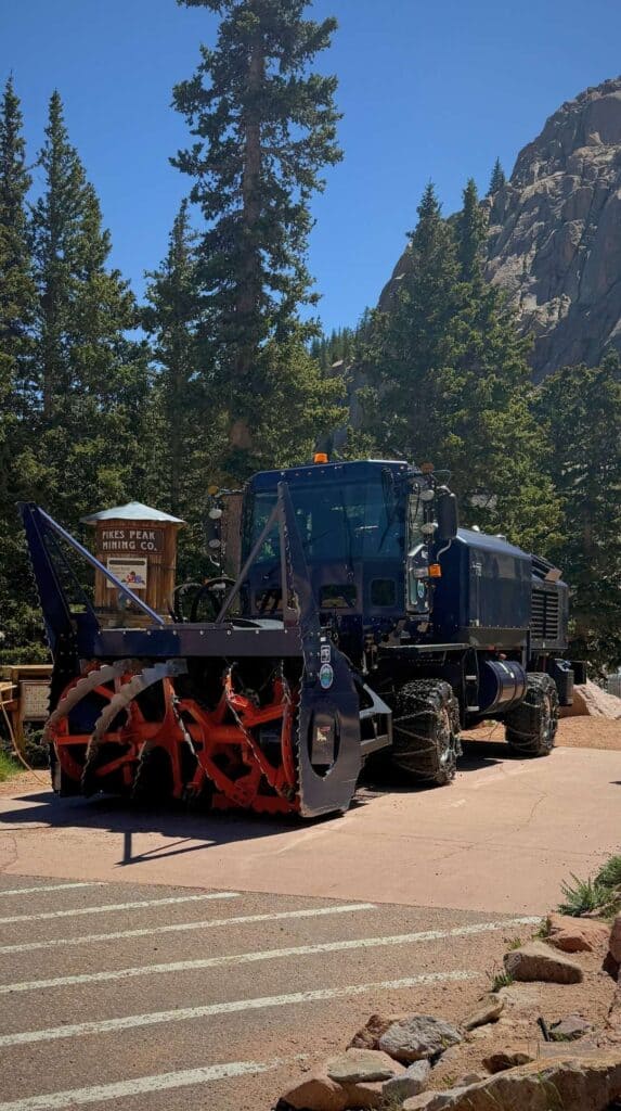
It’s true that weather on Pikes Peak changes fast and can be unpredictable. Snow can happen any time of year at 14,000 feet. Even in summer. And that’s why they have massive snow plows ready to go at any moment.
But, if the road is unsafe, the Rangers will close it. You won’t be allowed up the mountain in dangerous conditions.
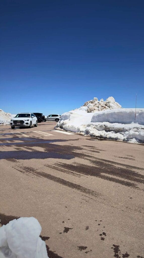
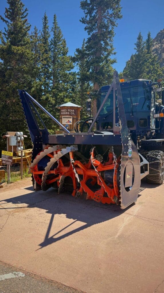

The week before our first trip up, a sudden blizzard hit the mountain and stranded several cars at the summit. The Rangers drove every single family back down, car by car, until everyone was safe.
High winds and afternoon thunderstorms are typically more of a threat than snow. We had to turn around at Devils Playground on our second trip up Pikes Peak because winds were over 45 MPH at the summit and Rangers closed the road to the top. We were disappointed that we couldn’t drive the last two miles, but we came back two days later to finish our drive to the summit.
We’ve seen some crazy afternoon thunderstorms in Colorado Springs with strong winds and hail. I recommend driving up Pikes Peak in the morning so you can be back at your hotel with a cocktail in hand when those afternoon storms roll in.
So what do you do if the weather suddenly turns bad? Pull into the nearest turnout, stay with your vehicle, and wait for it to pass. Rangers will find you and take you down if needed, but that’s extremely rare.
Check Conditions Before You Drive
Call 719-385-7325 before you drive for current road conditions. Or, see live views of the summit on the Pikes Peak Cameras.
4. What If I Get Altitude Sickness?
Altitude sickness is a frustrating and potentially dangerous condition that hits many of us in the mountains. It causes headaches, dizziness, nausea and can make it hard to just take a deep breath.
There’s not as much oxygen in the air at higher altitudes and that thinner air makes it harder for our body to do things like breathing, thinking, and just feeling normal. While the elderly and those with heart conditions may be more prone to altitude sickness, no one is 100% safe from the effects.
The problem comes when you move up in elevation too fast, so it’s best to take it slow and easy up the mountain. Stop along the way to enjoy the sights so your body can adjust to the changing air along the way. I give you a complete list of the best scenic stops down below.
If you are still feeling woozy when you reach the summit, EMTs are stationed in the Summit House with oxygen to help with temporary relief.
For My Fellow Catastrophizers
The Park Rangers aren’t just waving you through the gate and wishing you luck. They’re patrolling, watching the weather, and handling maintenance the whole time the road is open. Everyone working on the mountain is trained in CPR, and there’s always at least one medic stationed at the summit.
5 Tips for Nervous Drivers on the Pikes Peak Highway
So you’re scared to drive Pikes Peak Highway, but want to do it anyway? Congratulations! You can do this and you should. I know because I was right where you are. After driving the mountain three times, these are the things I recommend to help you make it to the top.
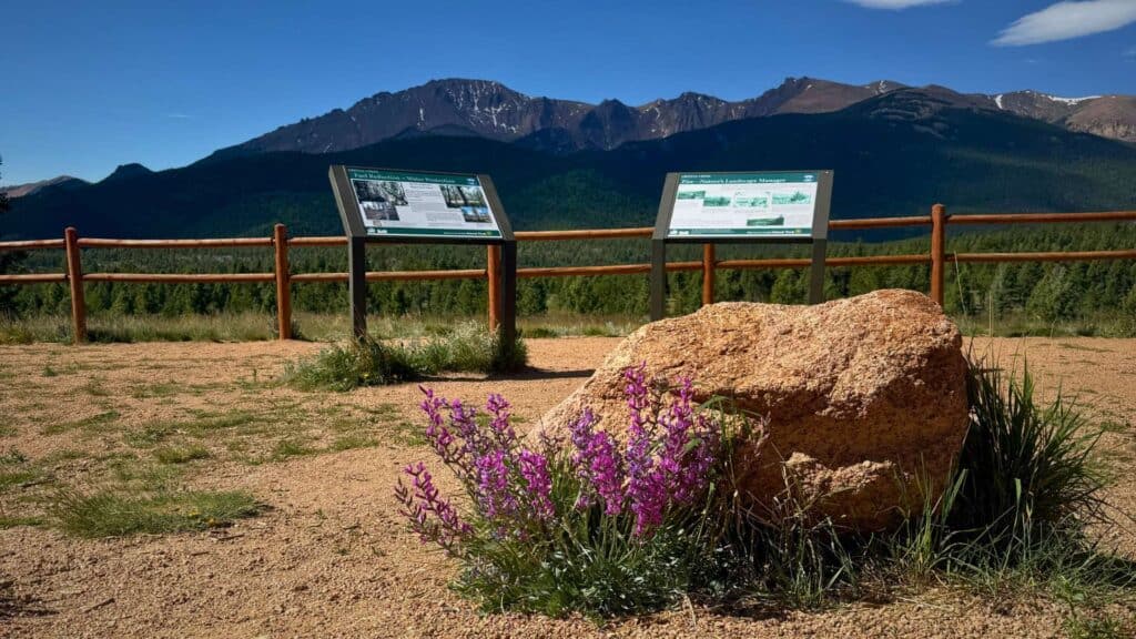
1. Distract Yourself with a Playlist You Love or Audio Tour
One of the best ways to keep your nervous brain occupied on the drive up Pikes Peak Highway is to give it something fun to listen to. Take it from someone with raging ADHD – your brain can only focus on so many things at once.
So give the part of your brain that wants to fixate on the drop-offs something cool to listen to. Because, when your brain is engaged and entertained, it has a lot less bandwidth left over for panic
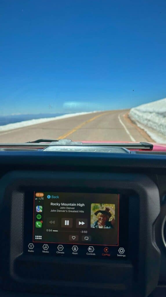
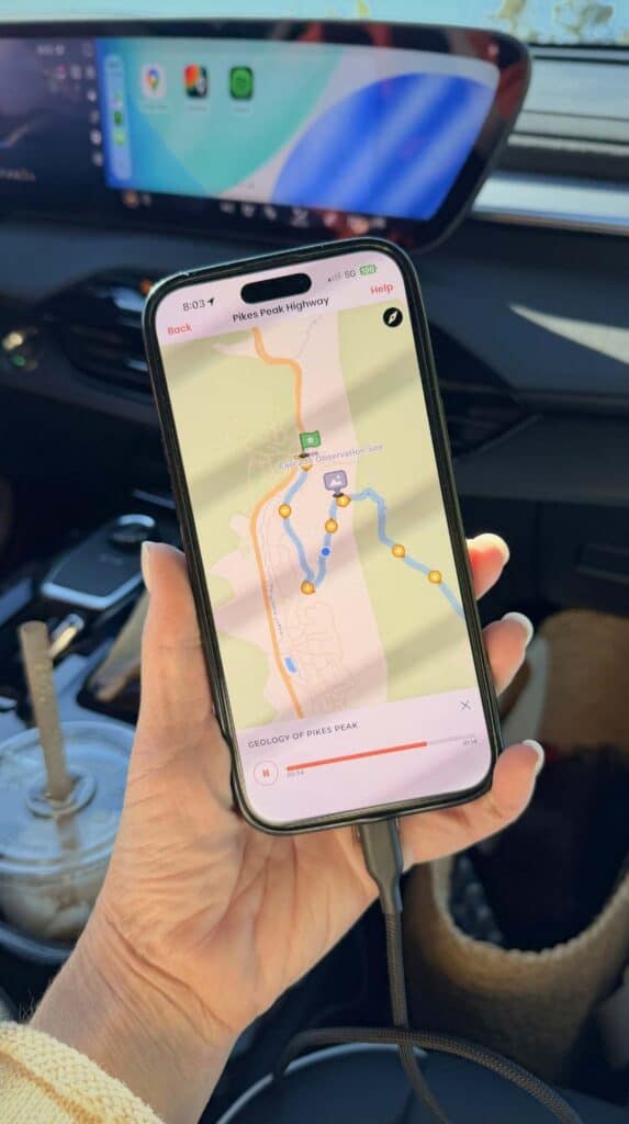
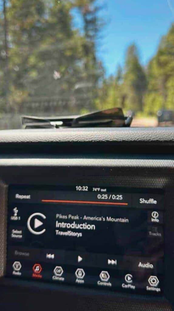
I have two options to make this tip work for you.
1️⃣ Build a playlist of music you actually love. The first time we drove up, I put on John Denver, because of course I did, and “Rocky Mountain High” kicking in while we climbed an actual Rocky Mountain made me so happy I forgot I was terrified.
Maybe yours is every 80s song you know by heart, maybe it’s the cheesiest mountain playlist you can build. It doesn’t matter what’s on it, as long as it’s yours.
2️⃣ Download a Satellite Audio Tour. This is like having your own personal tour guide in your car. Download the app, connect to your car audio, and press start as you pass through the entrance gate.
Using GPS, the app recognizes your location and the audio commentary automatically kicks on as you approach sights of interest. The tours cover history, wildlife, and helpful context about what you’re seeing at each stop.
Our favorite app and the one we highly recommend is Guide Along Audio Tours. We’ve used their tours in New England, in Banff, and now here. I was thrilled, when I found they had added Pikes Peak Highway because it wasn’t available the first time we drove up.
The host has an easy rapport and a steady supply of dad jokes, but you’re also getting the real history of who first climbed, claimed, and named the mountain, plus stories from the Pikes Peak Hill Climb race and great info on wildlife.
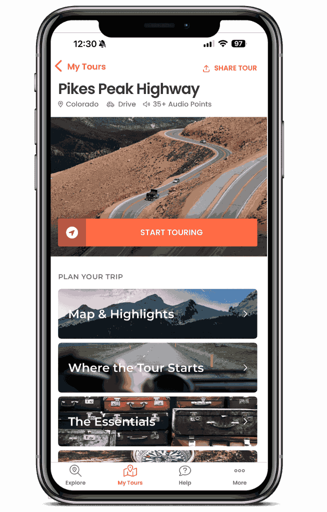
The Best Audio Tour!
Guide Along Pikes Peak Tour
This is our favorite satellite tour app! The Pikes Peak tour is packed with info on the landscape, wildlife, and history of the mountain. The best companion for nervous drivers!
Listen while you drive Pikes Peak Highway
If you want a free option, the TravelStorys Pikes Peak tour is what we used that first trip before GuideAlong added the mountain. It’s produced by the City of Colorado Springs, and while the information leans more generic, it taught us a few things on the way up and the price is right.
⚡️ Be sure to bring a charging cable because GPS drains your battery fast! ⚡️
2. Pick a No Shame Turnaround Point
This tip puts you back in control of your drive. You can bail whenever you want. Seriously. There’s no one to stop you and you are under no obligation to see the summit.
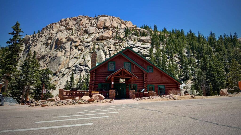
I had braced myself for one long panic-filled haul to the top. Instead there are scenic pull-offs, picnic areas, gift shops with restrooms, and plenty of spots to get out and take pictures.
What does that mean for you? You don’t have to drive all 19 miles to see breathtaking sights. ⬇️ Keep scrolling for my breakdown of the most scenic stops along the way.
Before you start your drive, agree on a bail out point: a spot where you turn around with zero shame if needed. I’d recommend Glen Cove at mile 13. That’s right where you break above the tree line, the switchbacks start, and it gets more nerve wracking.
So pick your spot and then go as far as you comfortably can. But, don’t be surprised if you keep going. There’s something about knowing you’ve made it so far that makes you want to see that summit.
3. Take the Switchbacks Slow and Use the Turnouts
The first 3/4 of the drive up Pikes Peak is relatively uneventful. The roads are wide with plenty of trees and land on each side. Mostly. Then, just after Glen Cove Inn at mile 13, you hit the dreaded switchbacks.
First, remember that this section is only a few miles long and there are some ways to make this section easier to handle.
⏰ Go Early
Try to book the first reservation of the day and start your drive when the road opens. There are very few cars out early, which means you’ll have the road to yourself on those narrow spots. Plus, you’ll have fewer crowds to fight for the doughnuts at the summit.
🐢 Drive as Slow as You Want
The good news is that this stretch of road only lasts from about mile 13 to mile 16 and you can take it as slowly as you want. The maximum speed limit on Pikes Peak Highway is 25 MPH, but there’s no minimum speed and no prize for finishing first.
👀 Keep Your Eyes on the Yellow Line
Where you look is where you steer, so no peeking over the edge when you are behind the wheel. Switch off driving so everyone has a chance to see the views or just wait until you get to the top to take it all in.
🛑 Pull Over When You Need a Break
Don’t feel any pressure from a tailgater to go faster than you want. Truthfully, we’ve never had to deal with tailgaters when driving Pikes Peak Highway. Everyone is just as nervous. But, if you do feel like the person behind you is crowding your space, pull off onto one of the many turnouts and let them pass.
⬇️ Use Low Gear When Descending
On your way back down the mountain, drop into low gear so the engine does the braking and you’re not riding the pedal.
4. Acclimate and Hydrate: Thin Air Feeds Panic
Give yourself some time to acclimate to the elevation before driving up Pikes Peak highway. The summit sits at 14,115 feet, where there’s roughly 40% less oxygen up there than at sea level. When your body has to work harder to breathe, your heart rate climbs and a pounding heart is exactly what a nervous brain feeds on.
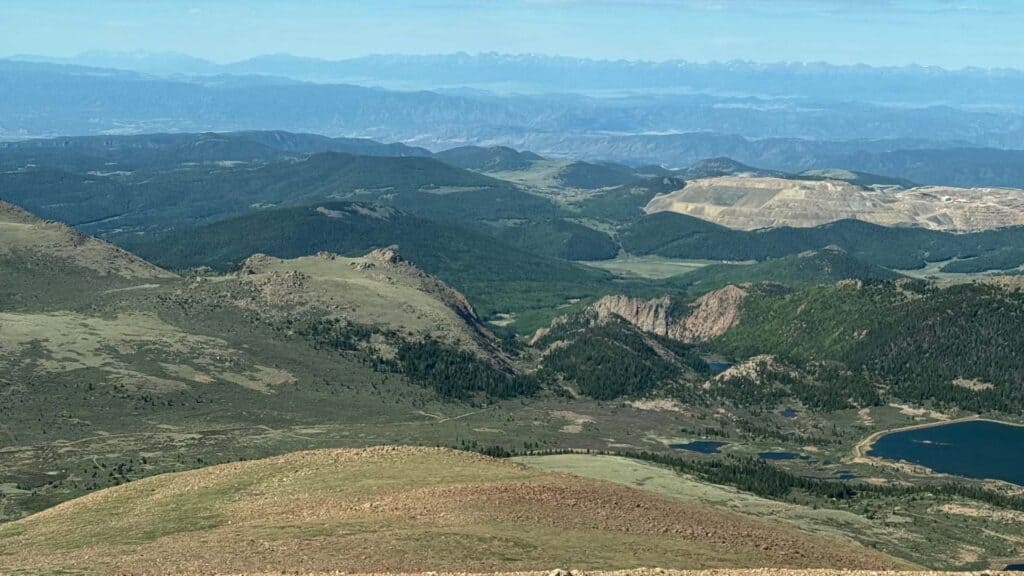
Colorado Springs sits at over 6,000 feet, which is actually higher than Denver (the Mile-High City). Spending a couple of days there before heading up Pikes Peak gives your body time to adjust.
I recommend waiting for your 3rd or 4th day in Colorado Springs to drive up Pikes Peak if you can.
Start drinking water several days before your drive, and keep sipping the whole way up. Dehydration makes every altitude symptom hit harder and faster. Go easy on the coffee and skip the cocktail the night before, too, since both dry you out.
If you do start to feel lightheaded or tight-chested, pull into a turnout, take some deep breaths, and let it pass before you climb any higher. Worst case, the EMTs at the Summit House keep oxygen on hand.
Some hikers swear by the portable oxygen canisters, but I haven’t tried one and can’t say whether they work or not.
NOTE: While anyone can feel the effects of altitude sickness, the elderly and those with heart or respiratory issues are definitely more at risk. Also, infants under 6 months old are not allowed to go to the summit since their lungs are not yet developed enough to acclimate to the change in altitude.
5. Break Up the Drive with Scenic Stops
You don’t have to drive Pikes Peak Highway in one nervous push to the top. There are pullouts and overlooks the whole way up, and stopping at them is one of the best things you can do for your nerves.
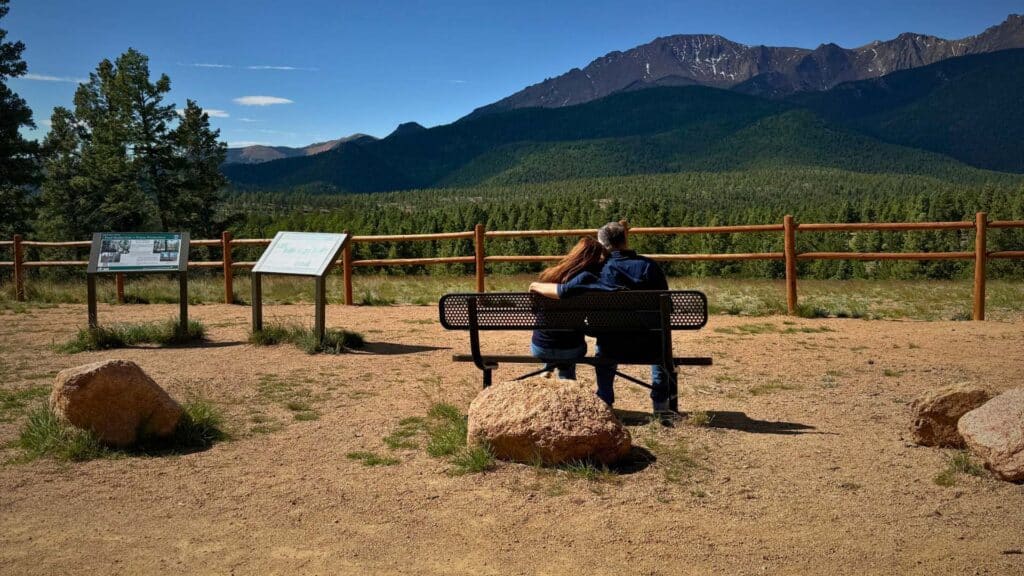
The stops are also where the drive gets fun. Every time you pull over, you get to unclench your hands, take a breath, and grab a few pictures. We stopped more than we planned to, and every single time I relaxed a little more and almost forgot about the switchbacks.
Keep an eye out for wildlife, because this is prime territory for yellow-bellied marmots sunning on the rocks, bighorn sheep along the ridgelines, and the occasional deer or fox in the cooler hours of the day. Stretch your legs, let your body catch up to the thin air for a minute, and enjoy the views.
The next section breaks down the best stops along the highway, mile by mile, so you can map out where to pull over and what to expect at each one.
Scenic Stops Along Pikes Peak Highway
As I said before, I had no idea how many beautiful places there would be to stop along Pikes Peak Highway. Take time to enjoy the stops along the way. Take lots of pictures, hike some trails, look for wildlife, and even go fishing.

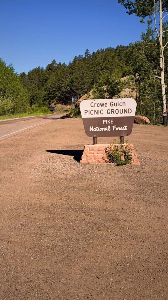
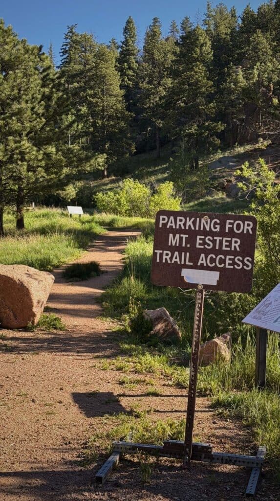
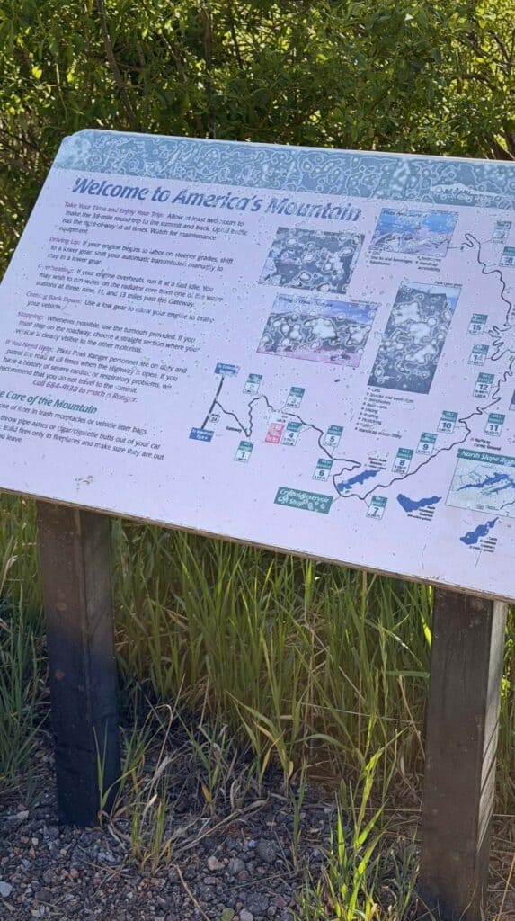
Mile Marker 3: Crowe Gulch Picnic Grounds
This area is near the start of the drive up the mountain. But, it’s a great place to enjoy a picnic lunch or a hike to an overlook with views of Pikes Peak summit.
Mile Marker 6: Crystal Reservoir Visitor Center
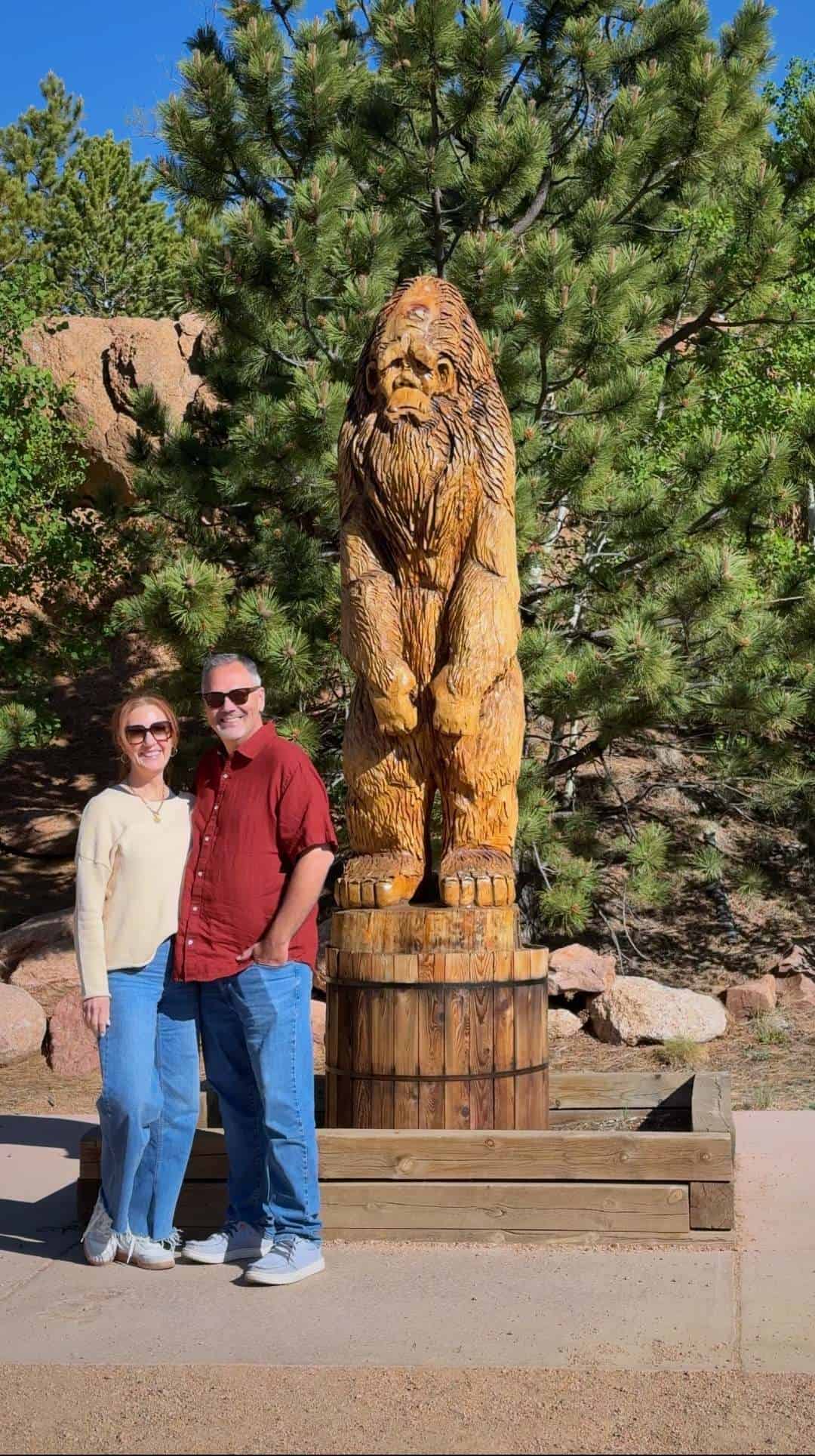
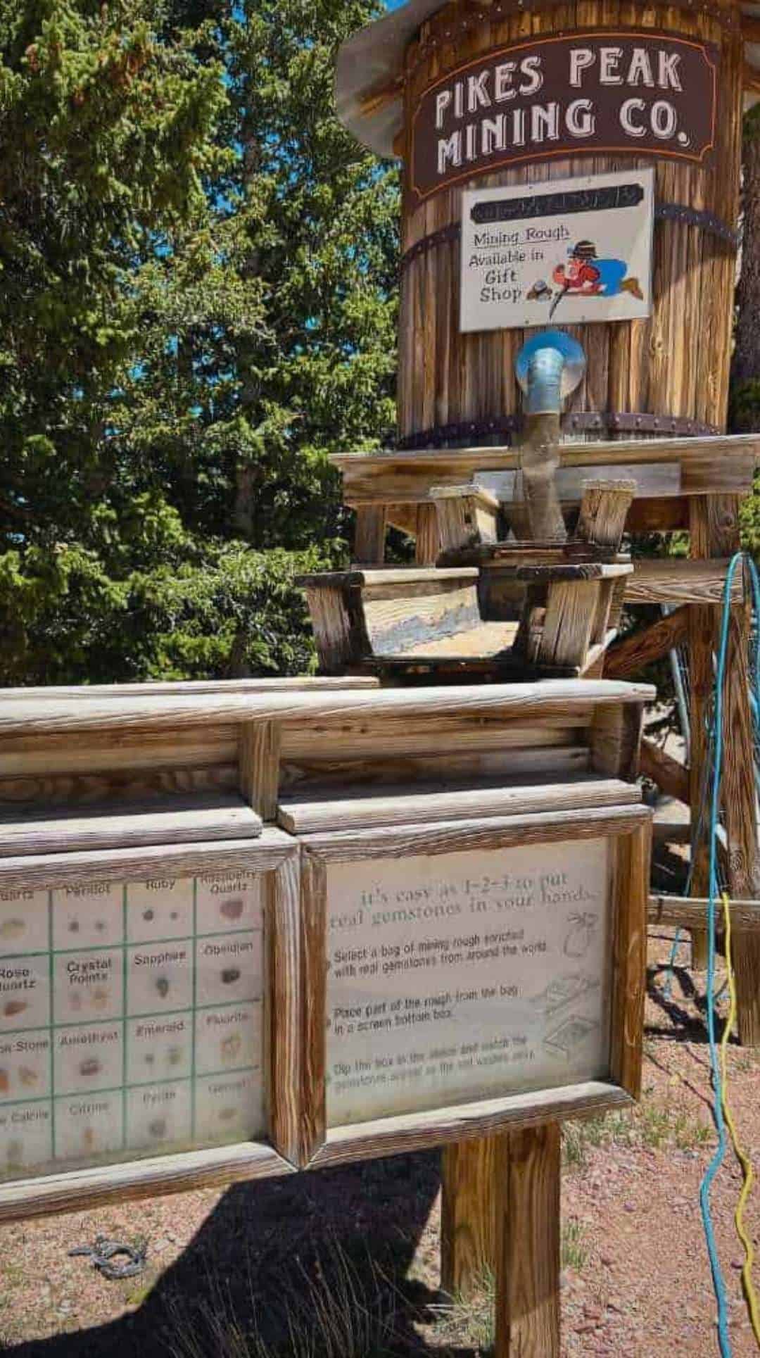
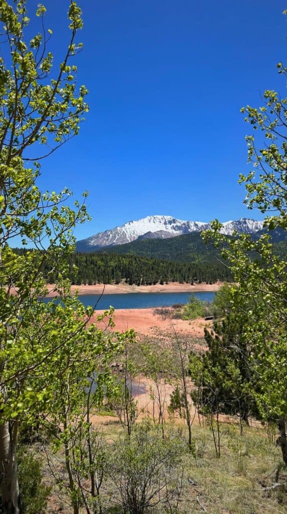
This is one of the best stops on the mountain. The 136-acre reservoir is gorgeous and one of my favorite spots for photos. You can hike the 3.5 mile trail around the water, grab a snack inside the visitor center, fish the stocked lake, or even try your hand at gold panning.
You could literally make an entire day out of the Crystal Reservoir without ever going any further. But, don’t use this spot as an excuse to avoid the hairpin turns later. Remember, those doughnuts are waiting.
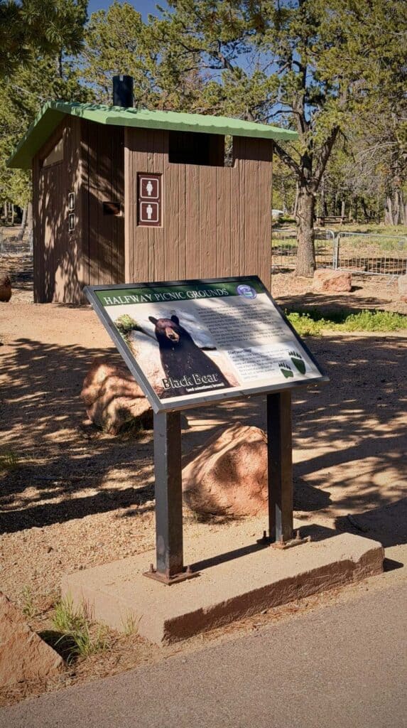
Mile Marker 9: Halfway Picnic Ground
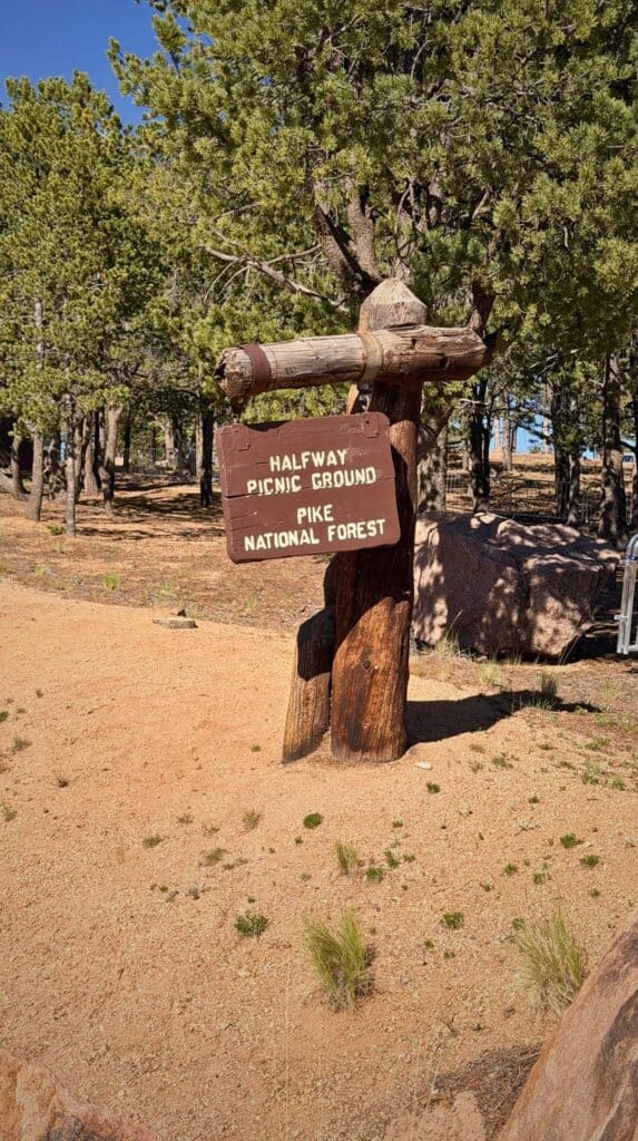
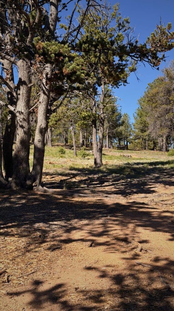
This spot is exactly what it sounds like, a picnic area halfway up the mountain. It’s a good place to have lunch before pushing on to the upper section.
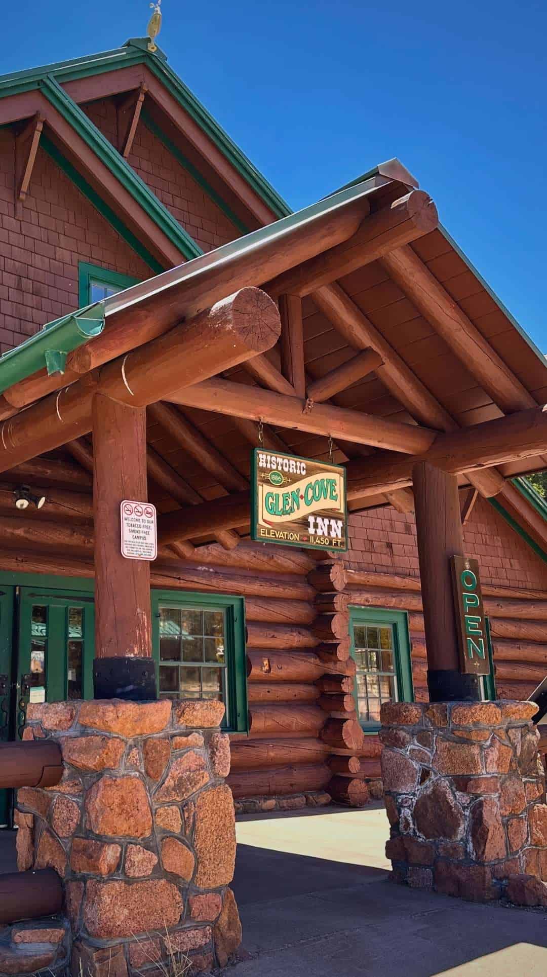
Mile Marker 13: Historic Glen Cove Inn
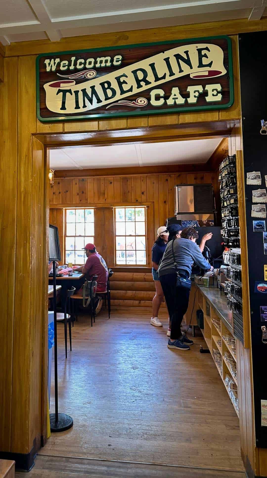
After the Crystal Reservoir Visitors Center, this is the largest stop on Pikes Peak Highway. You can pick up souvenirs at the gift shop or grab a hot lunch at the Timberline Cafe inside. There are also fully functioning flush restrooms here.
This is where Rangers will stop you on the way down to check the temperature of your brakes. If they are running too hot, you’ll be directed to the parking lot to let them cool down.

Mile Marker 16: Devil’s Playground
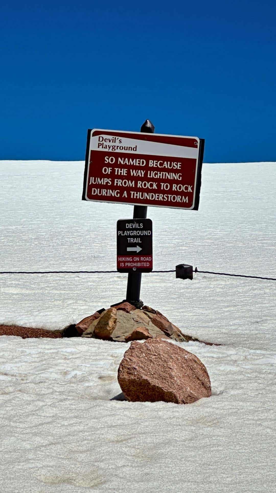
Named for the numerous lightning strikes in the area, Devil’s Playground has a large parking lot and amazing views. On busy days, Rangers use Devil’s Playground as a holding area to manage traffic flow to the summit.
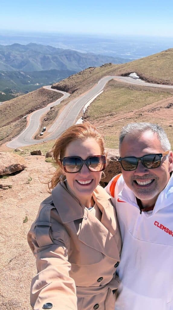
If the parking lot at the summit is full, Rangers will have you park and wait until space opens up. It happened to us on our first trip. Fifteen minutes later a Ranger came through the lot and let us know we were good to go.
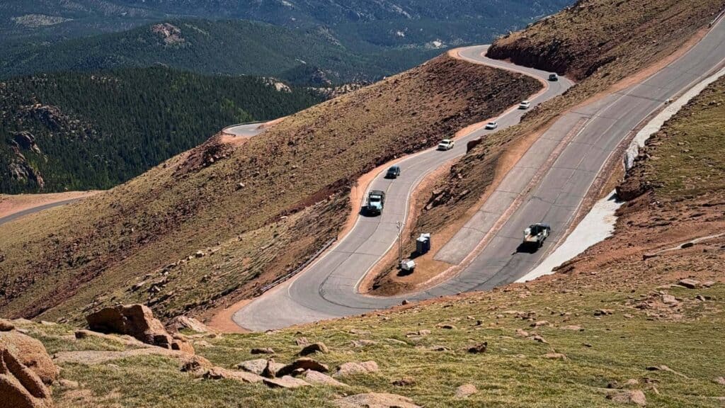
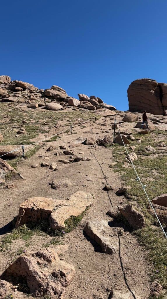
This is definitely worth the stop. On our first trip, the blizzard had covered the hiking trails so we didn’t get to explore the area. We didn’t know what we were missing. Climb to the top of the trail. From this spot you can get a great view of the twisting road you just drove.
Mile Marker 19: The Summit
After 19 miles of controlled panic, you made it. Take a breath (or let out the one you’ve been holding)
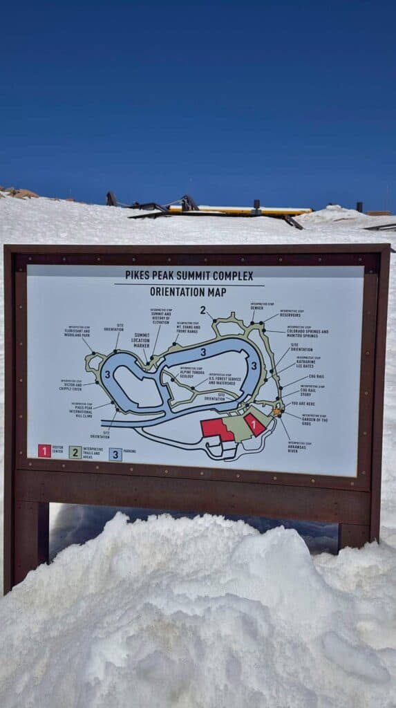
There’s plenty to see inside the Summit House, but lots to see outside as well. Take your time to explore. The park asks that you not take longer than 2 hours, but that won’t be a problem. I’d say you can see everything in an hour.
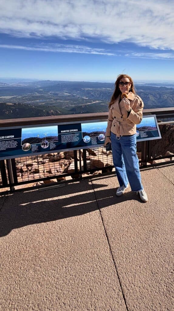
The observation decks and paved walkways wind around the summit and give you views in every direction. We were told on a really clear day you can see into five different states from up here.
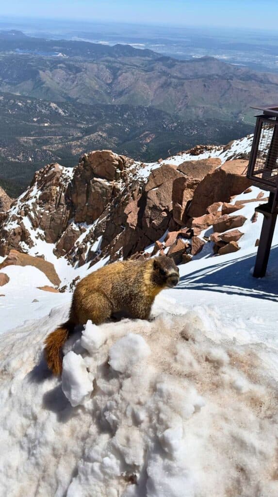
Watch for wildlife up there. We spotted a marmot hanging out near the observation deck watching the crowd like he owned the place.
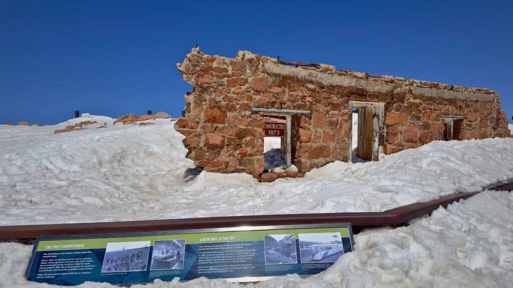
Before you head inside, look for the remnants of the original Summit House right next to the entrance of the new building. It dates back to the 1870s and was built from stones pulled straight off the mountain.
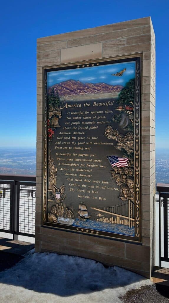
While you are out there, find the America the Beautiful Centennial Memorial, a large bronze plaque engraved with the words that Katharine Lee Bates wrote after standing in this exact spot in 1893.
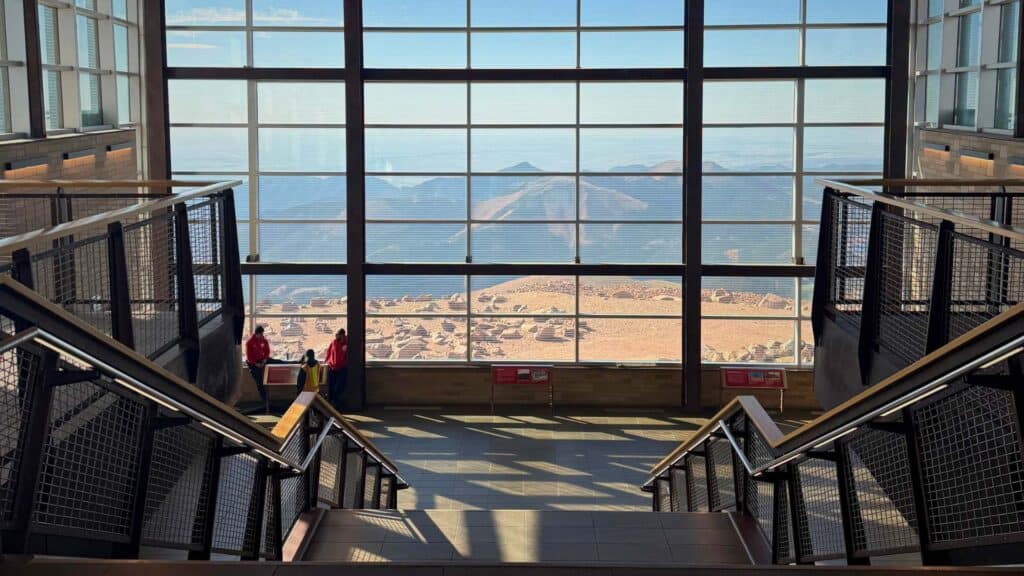
The new and improved Summit House opened in 2021. You’ll find exhibits about the mountain’s history and a gift shop stocked with every Pikes Peak souvenir you could ever want like ornaments, magnets, apparel, you name it.
We collect Christmas ornaments for our travel-themed tree and found a glass marmot that was absolutely perfect.
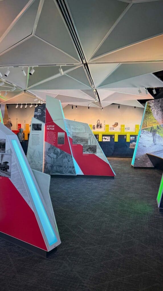
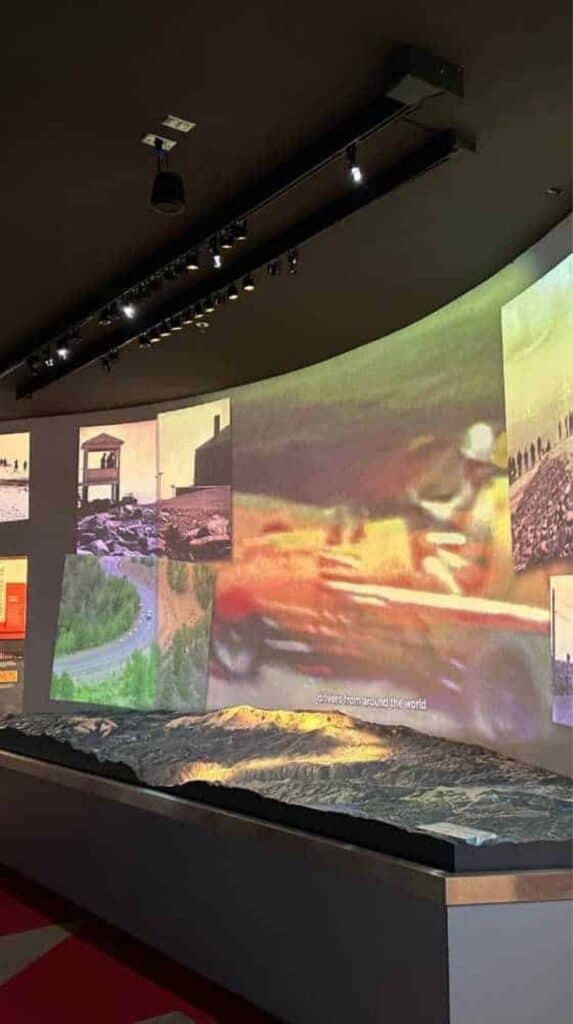
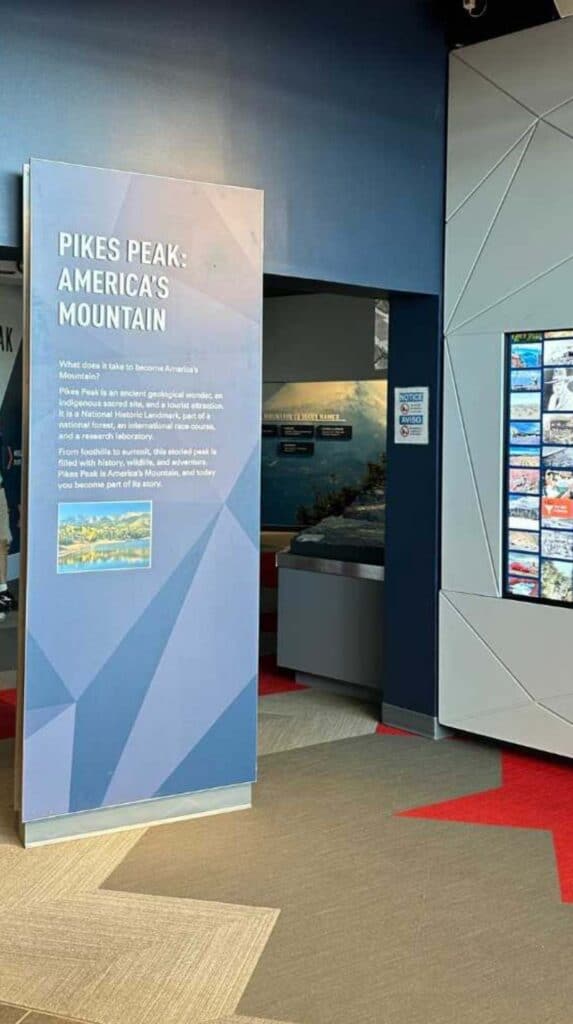
There are also EMTs stationed inside with oxygen for anyone feeling the altitude. While we weren’t bothered much, Jason and I both noticed that the effects of altitude sickness were worse inside the Summit House building. We felt slightly dizzy and lightheaded until we got outside and into the fresh air.
We Put Pikes Peak World Famous Doughnuts to the Test!
Pikes Peak is known for its hairpin turns and stunning views. And also for the doughnuts made from a recipe adjusted for high-altitude frying since 1916, with a secret ingredient the Summit House still won’t reveal. We were told they were only good at the summit, so we tested that for ourselves.
We bought the cinnamon sugar doughnuts and tried one at the top of the mountain. It was a tad dry, but really good. Definitely a coffee-dipping type of doughnut.
We tried our second doughnut when we got to the base of the mountain and it was awful! The texture was crumbly and the flavor just didn’t hit the same way it did at the summit.
✅ Pikes Peak Doughnut Myth: Proven True
Pikes Peak Temperatures
Temperatures drop drastically as you climb to 14,115 feet on your drive up the 19-mile Pikes Peak Highway. So, you’re going to want to bring some warm layers for photo stops and for the summit. Even in summer, temperatures at the top of Pikes Peak can be near freezing.
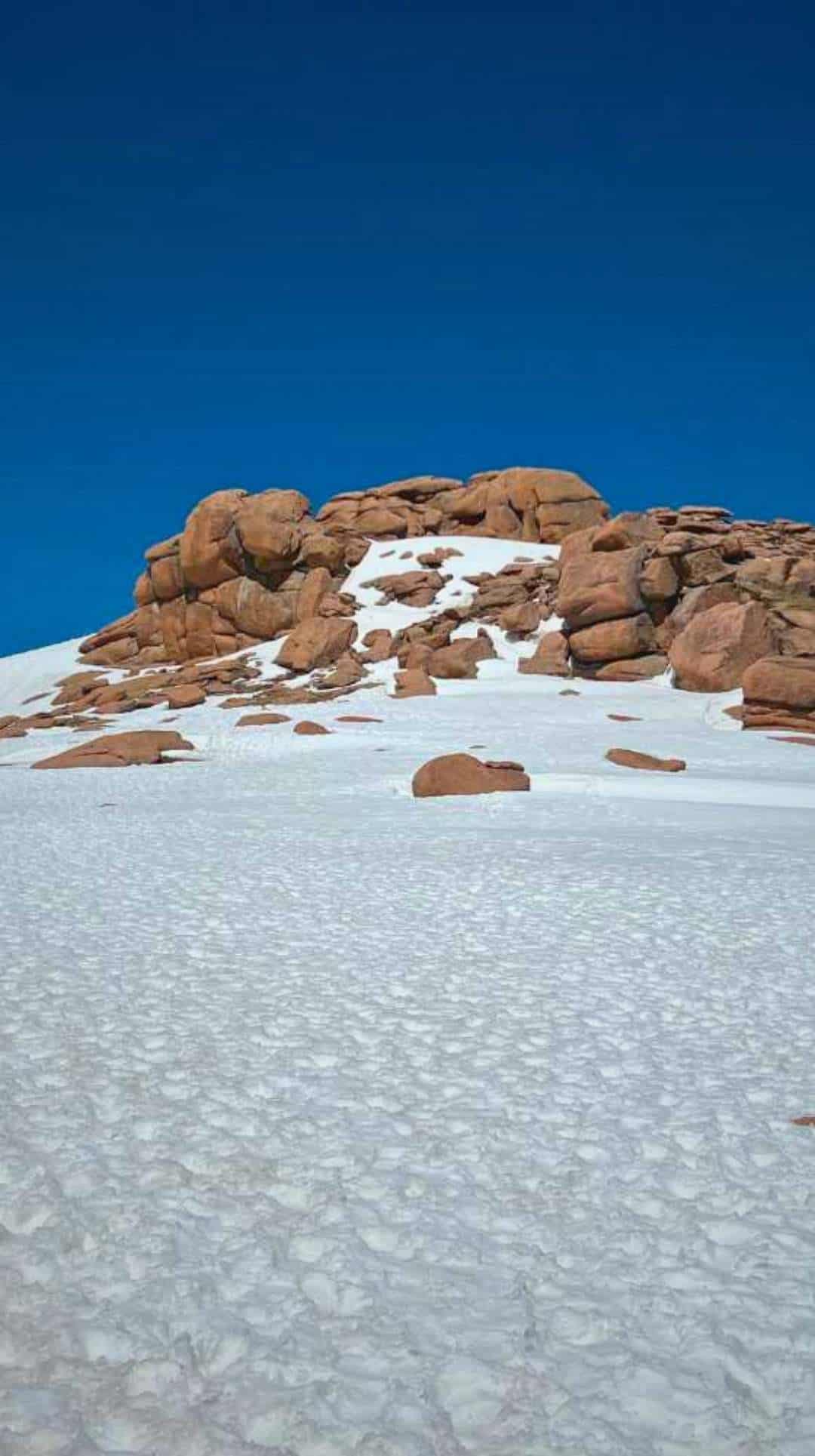
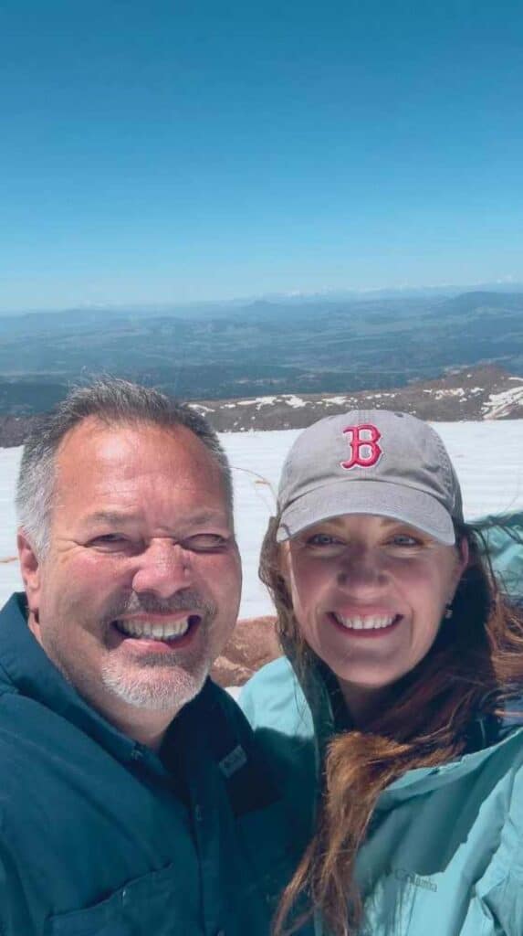
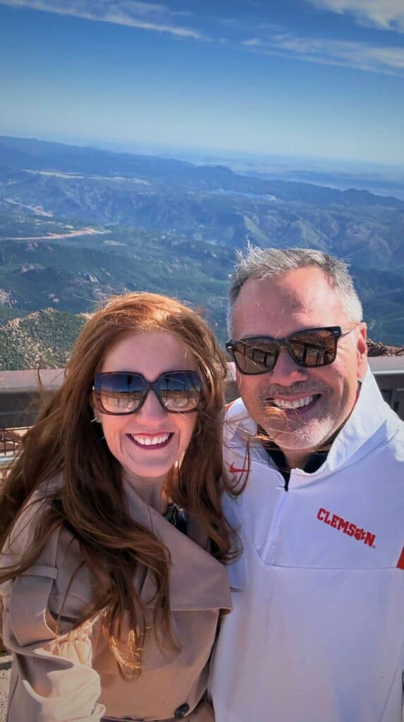
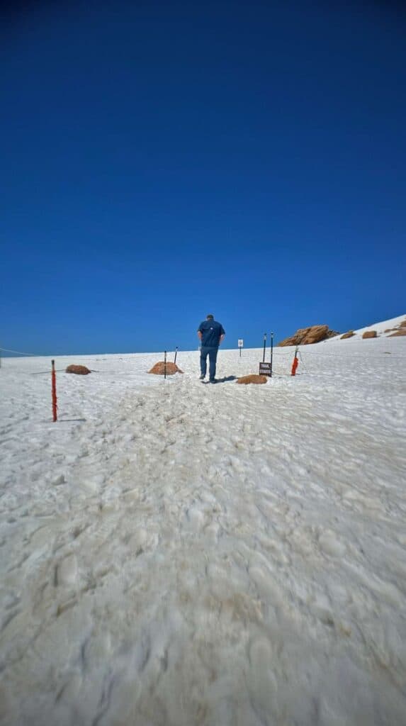
Both of these pictures were taken in June, just a few years apart.
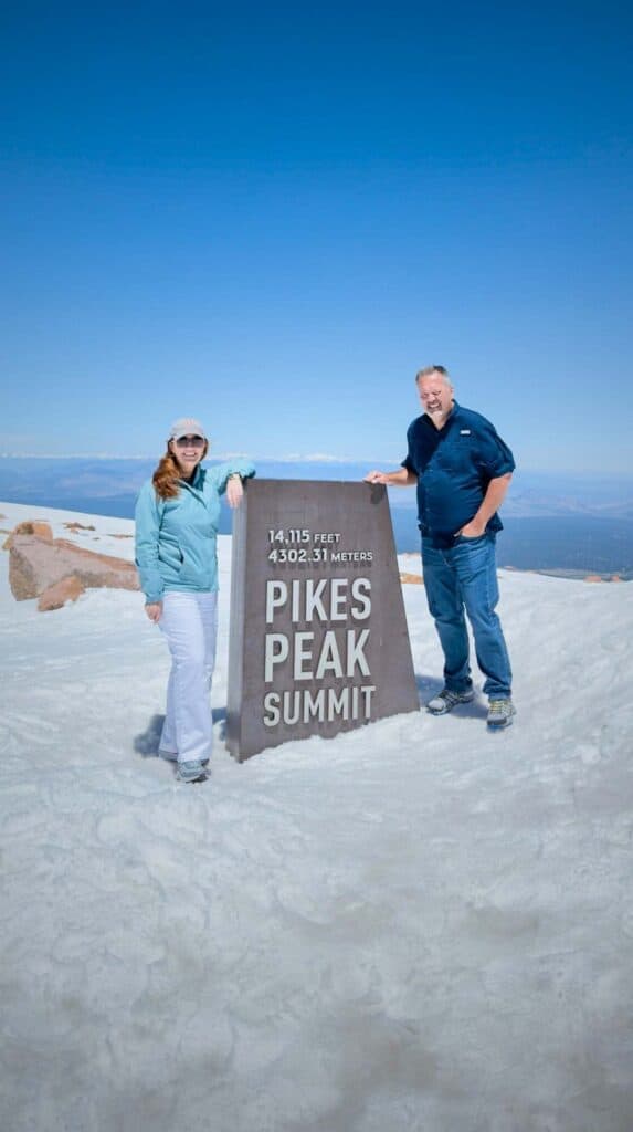
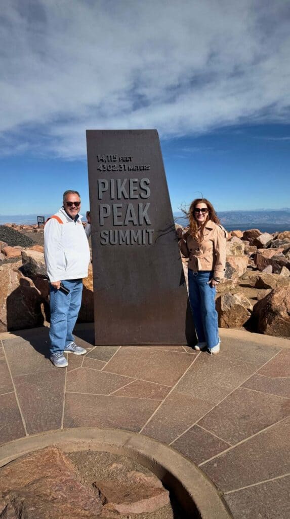
We made all three of our drives up Pikes Peak Highway during the month of June and I tracked the temperature drops as we drove up the mountain each time so you can see the changes.
|
Location on Mountain |
6/19/2023 |
6/11/2026 |
6/13/2026 |
|---|---|---|---|
|
Base of Pikes Peak |
74° |
68° |
65° |
|
Mile Marker 5 |
69° |
57° |
66° |
|
Mile Marker 8 |
66° |
56° |
66° |
|
Mile Marker 11 |
63° |
60° |
61° |
|
Mile Marker 12 |
61° |
56° |
59° |
|
Mile Marker 13 |
58° |
54° |
57° |
|
Mile Marker 14 |
54° |
54° |
57° |
|
Mile Marker 15 |
50° |
51° |
60° |
|
Mile Marker 16 |
46° |
52° |
55° |
|
Mile Marker 17 |
45° |
50° |
51° |
|
Mile Marker 18 |
43° |
* |
51° |
|
Mile Marker 19 |
41° |
* |
46° |
|
Pikes Peak Summit |
39° |
* |
46° |
|
Pikes Peak Temperature Drops |
-35° |
N/A |
-19° |
* We were turned around at Devil’s Playground due to high winds so we didn’t make it to the top.
Also, the sun reflecting off the snow is incredibly bright so don’t forget the sunscreen and sunglasses. Jason forgot his on our first trip and he regretted it.
What to Know Before You Drive Pikes Peak Highway
Driving up Pikes Peak Highway is one of our favorite things to do in Colorado Springs. We love it so much, we’ve done it three times. Here’s what you need to know about making the drive.
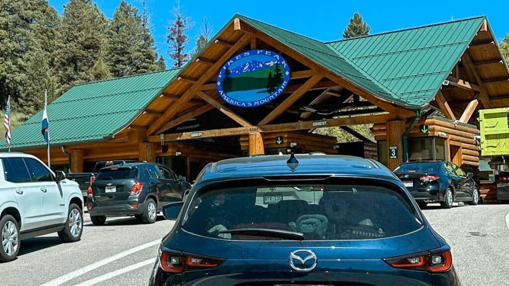
Use the Correct Address (Google Maps Won’t Get You There)
Don’t trust Google Maps to get you to the entrance of Pikes Peak Highway. Plug in the correct address to ensure you get where you want to go. The address to use: 5089 Pikes Peak Highway, Cascade Colorado
Plan for a Half-Day Drive
Most drivers reach the summit in about an hour, though if you stop along the way (and you should), plan for longer. Give yourself time to stop for pictures, to see wildlife, explore the summit, hike some trails, or have a picnic. After driving Pikes Peak Highway three times, I recommend setting aside 3 – 4 hours minimum.
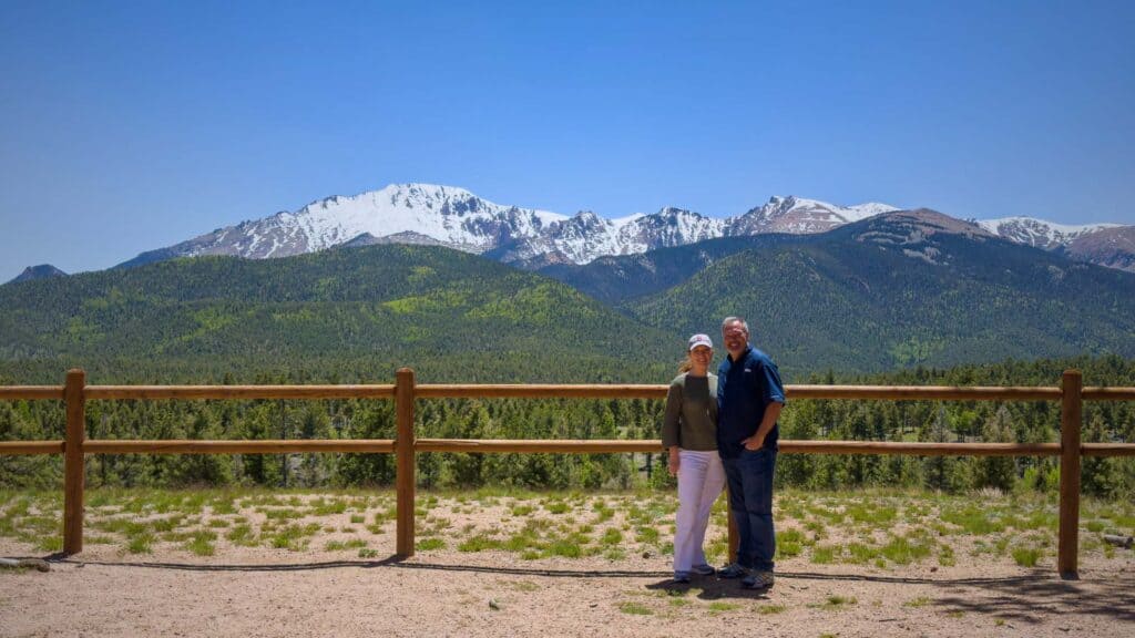
Buy Tickets and Make a Reservation
Tickets: Each person in your group will need a one-day park entry ticket. At time of writing, passes are $10 – $18 depending on when you are visiting. There is a discounted group rate of $65 for cars with up to 5 people. You can purchase the passes online in advance or buy them at the gate when you arrive.
Reservations: From May through September, the highway is much busier and the parks service spreads out traffic. If you are coming at this time you’ll need to purchase a Timed Entry Permit for $2. Your permit will give you a specific 2-hour window and as long as you show up within that time period, you’ll be good to go.
The first timed entry slot is 8:00 AM, but the gates open at 7:30 AM. I strongly recommend nervous drivers start the drive up Pikes Peak Highway as early as possible. You’ll face fewer cars coming toward you on the other side of the road and you’ll have your pick of turnouts to stop and take pictures.
Fill Up Your Tank Before You Go
There are no gas stations or EV charging stations on the Pikes Peak Highway. Pikes Peak Rangers recommend that you have at least a half a tank of gas before starting your drive. You don’t want to run out of gas at 13,000ft, so fill up before you get there.
Download Permits and Apps Before You Lose Cell Signal
Cell coverage is really spotty as you drive up Pikes Peak Highway. Download your timed entry permit and passes to your phone before you get to the gate just in case you don’t have service.
Check the Weather at the Summit
Colorado Springs may be all blue skies and light breezes. But the summit sits 8,000 feet above the city and makes its own weather entirely. As I mentioned earlier, we’ve seen beautiful days, blizzards, and hailstorms all in the month of June!
Check Conditions Before You Drive
Call 719-385-7325 before you drive for current road conditions. Or, see live views of the summit on the Pikes Peak Cameras.
Know Your Vehicle Before You Start Your Drive
I speak from experience on this one. Make sure you know how to set your car to low gear before you leave the parking lot. Low gear slows your engine so you’re not riding (and overheating) your brakes on the way down the mountain.
We learned this lesson the hard way when we went to drop our rental car into low gear and couldn’t find how to do it. We sat in the Devil’s Playground parking lot reading the owner’s manual, but couldn’t find the simple answer. Of course, we had no cell service on the mountain so Google and ChatGPT weren’t options.
Jason took it slow on the way down and we stopped at every available turnout to let the brakes cool. Even so, when we got to Glen Cove Inn the ranger measured our brake temp at 100° higher than he thought acceptable. We had to wait in the parking lot for about 20 minutes.
Thankfully, he’d seen more than a few people in the same situation and helped us find low gear. (It was nowhere near where we thought it would be.)
Don’t want to worry about low gear?
Rent a hybrid. We rented a hybrid jeep the first time we drove up Pikes Peak Highway and Jason barely had to touch the brakes the whole way down.
Alternatives for Reaching the Pikes Peak Summit
If driving genuinely isn’t an option for you, there are some good alternatives for getting to the top.
Pikes Peak Cog Railway
Pikes Peak Cog Railway departs from Manitou Springs, just west of Colorado Springs. The 9-mile climb takes about an hour, with 40 minutes at the summit before the train heads back down. The round trip takes roughly 3 – 4 hours total. Purchase tickets in advance at cograilway.com.

Pikes Peak Shuttle
The shuttle runs seasonally and departs from the Mile 7 parking lot on the Pikes Peak Highway starting at 9:00 AM, with the last shuttle leaving the summit at 6:15 PM. Shuttles run approximately every 30 minutes and make stops at Glen Cove Inn, Devil’s Playground, and the summit, so you still get to experience the mountain’s best stops without being behind the wheel.
You can explore each stop at your own pace and catch the next shuttle when it comes through. Reserve your spot at coloradosprings.gov.
Book a Private Guided Tour of Pikes Peak
Several local companies offer private jeep tours up Pikes Peak. Some tours also include other sights around Colorado Springs. These are all highly rated and worth a look:
For what it’s worth: the train or shuttle would have been scarier for me than driving. Sitting captive in a train car or on a school bus going up the side of a mountain felt less in my control than riding shotgun with Jason driving. But, those are my issues. Pick the most comfortable way for you to get to those beautiful views at the summit.
Now, Ready to Race to the Top?
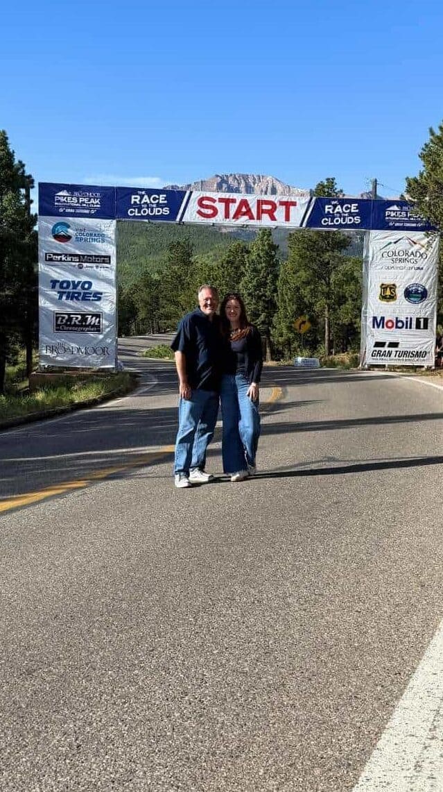
Every June, drivers fly up this mountain in the Pikes Peak International Hill Climb, better known as the Race to the Clouds.
The whole time Jason and I were creeping up the switchbacks, we kept looking at each other in flat disbelief. We’d round another hairpin at 15 miles an hour, white-knuckled, and just go, “seven minutes?” Because that’s about how long it takes the fastest driver alive to do what was taking us all morning.
The record holder, Romain Dumas, went from the start line to the summit in seven minutes and fifty-seven seconds.
We needed a playlist, a turnaround plan, and a doughnut to recover. He needed under eight minutes.
FAQs
Is driving up Pikes Peak scary?
Parts of it are genuinely scary, I’m not going to lie. The scariest part for me was the switchback section near mile 16, where the road makes 180-degree turns at 13,000 feet with steep drop-offs and limited guardrails. That part is only about a mile long and the rest of the drive is more gradual and manageable.
How long does it take to drive up Pikes Peak?
The drive to the summit is approximately 50–60 minutes without stops. Plan 3–4 hours total to allow time for scenic stops, the summit, and the drive back down.
Do you need reservations to drive up Pikes Peak?
Yes, timed-entry permits are required May through September. The permit costs about $2 per vehicle. You’ll also need to book a one-day admission pass. At time of writing, passes are $10 – $18 depending on when you are visiting. Discounted rates for cars holding up to 5 people are also available. Book at coloradosprings.gov
Will my car make it up Pikes Peak?
Most standard passenger vehicles handle the drive fine. Pull-behind trailers and campers are not allowed. If your vehicle is on the older side or you’re coming from sea level, consult your mechanic first, as high altitude can stress older engines. Also be sure you have at least half a tank of gas. We rented a hybrid jeep and it was the perfect vehicle for the trip.
What should I pack for driving up Pikes Peak?
Pack layers (temperatures drop 20–35°F between base and summit), sunscreen, sunglasses, and a full water bottle. A phone charging cable is helpful if you’re using the TravelStorys or GuideAlong audio tours. Snacks are a good idea since food stops are limited to Crystal Reservoir, Glen Cove Inn, and the Summit House.
Can you drive up Pikes Peak in winter?
The road is open year-round, but winter driving can involve ice and snow. Rangers monitor conditions and close access during unsafe weather. Check current conditions at coloradosprings.gov before you go.
What is the best time of day to drive up Pikes Peak?
I recommend going in the morning. Not only are crowds lighter, but Colorado is known for afternoon thunderstorms and being above the tree line when lightning rolls in is not a situation you want to be in. We try to book the first reservation of the day which is 8 AM.
Is someone buried on Pikes Peak?
Actually, yes! An artist by the name of Carl Lotave is buried near the Summit House. He was well known in the early 1900s.
Is Pikes Peak Highway paved?
Yes. Pikes Peak Highway is fully paved all the way to the 14,115-foot summit. The last gravel stretches were paved back in 2011, so you are not white-knuckling a dirt cliff road. It is a smooth, well-maintained two-lane road the whole way up, which was honestly one less thing for me to panic about.
Are there bathrooms on Pikes Peak Highway?
Yes, but they are spread out, so plan ahead. You will find restrooms at the Crystal Reservoir Visitor Center around mile 6, flush restrooms at the Glen Cove Inn at mile 13, and more at the Summit House at the top. There is nothing in between, so it is worth a stop when you see one, especially before you hit the switchbacks.
Can you bring your dog up Pikes Peak?
Yes, leashed dogs are welcome on Pikes Peak Highway and at the summit. Only service dogs are allowed in the Summit House. Keep in mind that the thin air and cold can be as rough on pets as they are on people, so watch your dog for signs of altitude stress at the top and bring water for them. Never leave them in the car at a scenic stop, since temperatures on the mountain swing fast.
How high is Pikes Peak?
Pikes Peak tops out at 14,115 feet, which makes it one of Colorado’s 54 “fourteeners,” the peaks that rise above 14,000 feet. The Pikes Peak Highway climbs 19 miles to get there, and the summit is the literal end of the road.